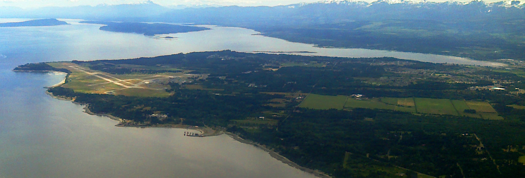
Surrey, British Columbia
Wikimedia Commons via Wikipedia

British Columbia · Civic arena

Surrey

Surrey drinking water hardness is 184 mg/L on OpenStats, plus City Score rankings and local readings.

Civic arena · hometown HUD

Surrey

City618k pop
50XP
#175

#175 of 343

50% City Score XP

DroppingDirectSurface
City Score XP

7/8 pillars on the board

50%#175

Decade trail

Surrey packs 7 of eight open-data pillars into its composite standing. Tap a rival below to see how the hometown stacks up head-to-head.

Surrey drinking water

Direct municipal reading

Hardness, pH, and lead from municipal reports on the OpenStats water atlas.

Hardness
184 mg/L
very hard
pH
7.7
Lead
0 μg/L

Full Surrey water quality report →City Score rankingsCompare cities · vs Qualicum Beach · vs TerraceHardness guide

Watershed to tap · system map

How Surrey's water works

Open full map

Source, treatment, and distribution for Surrey from municipal and provincial water records. Hardness and grade are published readings.

Local numbers for Surrey

Drinking water first, then permits, tax, internet, radon, and hazards for Surrey.

How Surrey scores

Dropping42

Surrey sits at City Score rank #175 with a standing of 50%, from 7 of 8 open-data pillars (tax, construction, connectivity, indoor air, water, seismic hazard, growth, safety). Missing pillars score at median standing so thin coverage cannot inflate the rank. Dropping 42 places versus 2022 (#133 → #175).

Latest owned placements: building permit value rank #76 of 343 (2025); indoor radon rank #65 of 343 at 234 Bq/m³ survey mean; residential mill rate rank #32 of 343 (13.11 mill rate). Full tables and method notes live on each study edition; atlas readings for the same slug open from the topic buttons.

#175
Arena rank (of 343)
50%
City Score
7
Pillars observed
Dropping42
vs 2022
#133 → #175

Arena loadout

Topic XP bars

Arena rank #175 of 343

City Score

7/8 pillars · main XP bar

50%#175
Drinking water

Rank #154

45%
Building permits

Rank #76

78%
Internet

Rank #70

80%
Radon

Rank #65

19%
Hazards

No placement

Property tax

Rank #32

9%

Achievements

Dropping -42Direct municipal readingSurface water supply

Hometown notes

Archive

Earlier years: 2026 · 2025 · 2024 · 2023

Surrey in brief

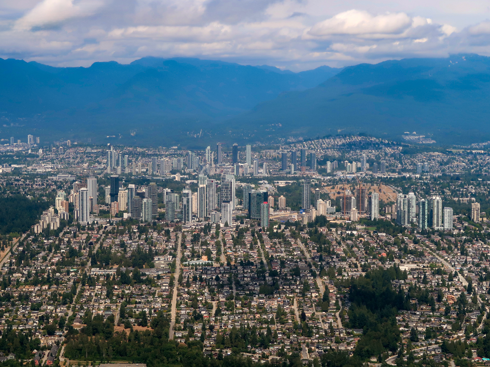
Surrey does not introduce itself as one downtown. Municipal pages map town centres: City Centre and Whalley in the north, Newton, Fleetwood, Guildford, Cloverdale, and South Surrey with Crescent Beach. City Centre is the transit-oriented core around Surrey City Hall, SFU, KPU, and four Expo Line stations, with Holland Park hosting Fusion Festival. Whalley wraps that core as one of the oldest neighbourhoods, with Bear Creek Park and the Surrey Arts Centre still anchoring north Surrey weekends even as high-rises fill in around the SkyTrain spine.

Cloverdale keeps the western-and-railroad memory: historic main street, Museum of Surrey, Surrey Archives, and Cloverdale Rodeo and Country Fair at the fairgrounds since 1945. Clayton Heights is the fast-growing Cloverdale neighbour, now with Clayton Community Centre bundling arts, recreation, and library space. Newton, the most populous town centre, draws huge Vaisakhi Parade crowds and houses the Bell Performing Arts Centre. Guildford looks toward the Port Mann Bridge and Fraser River; South Surrey leans coastal with Crescent Beach, border crossings, and Historic Stewart Farm.

Homepage copy already talks about becoming the biggest city in British Columbia and funding major capital projects to match, while Sounds of Summer keeps free Wednesday concerts on the civic calendar. Now-Leader sports pages treat places like Tamanawis Park in Newton as sport-tourism infrastructure, not only local fields. On OpenStats City Score for 2026, Surrey sits at rank 7 of 125. Locals still ask which town centre you mean before they give directions.
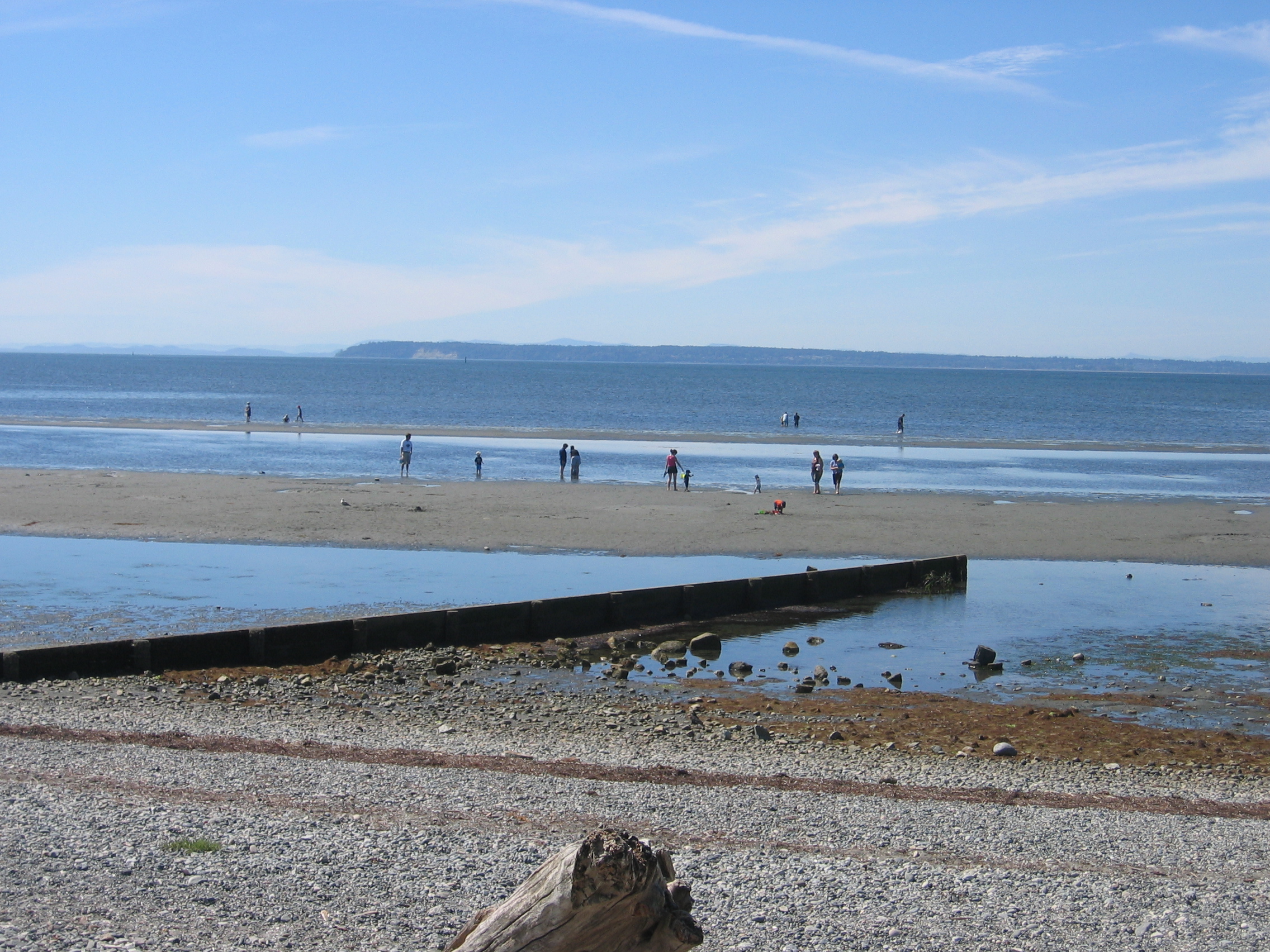
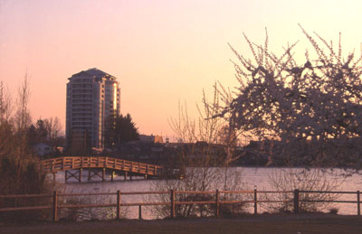
Drawn from City of Surrey - Our Communities, City of Surrey - Cloverdale, City of Surrey - Whalley, Surrey Now-Leader.

City Score over time

City Score from 2016–2025 across eight open-data pillars. Individual study placements are listed in the panels below.

0%25%50%75%100%2016201720182019202020212022202320242025
OpenStats City Score

Rankings for Surrey

Each study below is its own ranking. Where a study has more than one edition for this city, the chart shows standing across those years only.

Connectivity · OpenStats

OpenStats Broadband Download Speeds

OpenStats

Cities ranked by estimated best advertised download (Mbps). Anchored to the current ISED National Broadband Data vintage, then backcast along a national speed curve with city-specific fiber-arrival and 50/10 availability paths so relative ranks can change over the decade. Not a claim of audited historical hex maps for every year.

10 editions · 2016–2025

#70
Latest · 2025 · of 343
Score 603.7

Construction · OpenStats

OpenStats Building Permit Value

OpenStats

Cities ranked by calendar-year building permit value. Direct rows sum Statistics Canada Table 34-10-0292-01. Cities without a direct reading use population × provincial per-capita permit intensity (estimated), so every seed city has a year-varying construction signal.

10 editions · 2016–2025

#76
Latest · 2025 · of 343
Score 719622544

Composite · OpenStats

OpenStats City Score

OpenStats

Dimensional average of OpenStats open-data pillars for each panel year 2016–2025: tax, construction, connectivity, indoor air, water, seismic hazard, population growth, and crime severity. Each series is scored 0–1 within its edition; series in the same pillar are averaged, then all eight pillars are averaged with equal weight. Missing pillars score at median standing (0.5). Growth and CSI use StatCan annual tables; permits, mill rates, and broadband use live rows plus documented year-varying estimates where needed. Radon, water, and PGA may be survey/model vintages carried forward and are flagged when static for more than two years. External commercial livability lists are never inputs.

10 editions · 2016–2025

#175
Latest · 2025 · of 343
Score 0.504

Safety · OpenStats

OpenStats Crime Severity Index

OpenStats

Communities ranked by Statistics Canada Crime Severity Index (Table 35-10-0026-01). Rank 1 is highest CSI (worse). Values are CMA where a metro match exists, otherwise provincial CSI. Hometown pages label the grain.

10 editions · 2016–2025

#85
Latest · 2025 · of 343
Score 92.37

Water · OpenStats

OpenStats Drinking Water Hardness

OpenStats

Communities ranked by municipal drinking-water hardness (mg/L as CaCO₃). Hardness changes slowly; the atlas vintage is carried across panel years and flagged when static for more than two years.

10 editions · 2016–2025

#154
Latest · 2025 · of 343
Score 184

Health · OpenStats

OpenStats Highest Indoor Radon

OpenStats

Communities ranked by Health Canada survey mean indoor radon (Bq/m³). Rank 1 is the highest mean. Decade panel years without a new survey carry the CMA survey vintage forward; they are not annual retests.

10 editions · 2016–2025

#65
Latest · 2025 · of 343
Score 234

Growth · OpenStats

OpenStats Population Growth

OpenStats

Cities ranked by year-over-year population growth from Statistics Canada annual CSD estimates (Table 17-10-0155-01). Rank 1 is fastest growth. A few places without a clean CSD match use a provincial-path estimate anchored to seed population.

10 editions · 2016–2025

#92
Latest · 2025 · of 343
Score 0.019375245414462464

Property tax · OpenStats

OpenStats Residential Mill Rates

OpenStats

Municipalities ranked by residential mill rate. Rank 1 is the highest rate. Published municipal years are used when available; gaps are interpolated or follow the provincial median path so the tax pillar moves year to year for every city.

10 editions · 2016–2025

#32
Latest · 2025 · of 343
Score 13.108938763955262

Livability

Maclean's Best Communities

Maclean's

Successor-style municipal livability ranking published by Maclean's for 2019 and 2021 (no 2020 edition).

Single edition · 2021

#182
Published · 2021 · of 415

Only one published edition places Surrey in this study so far. Open the edition for method notes and the full table.

Original source · Full edition

Worth knowing in Surrey

Distinctive local notes and places, each linked to its source.

  • Cloverdale has hosted the Cloverdale Rodeo at the fairgrounds since 1945 and bills Western Canada's biggest Canada Day celebration.

    City of Surrey - Cloverdale

  • Whalley takes its name from Arthur Whalley, who settled near King George Boulevard and 108 Avenue in 1925.

    City of Surrey - Whalley

Places to see

Cloverdale

Historic main street, Museum of Surrey, and fairgrounds for rodeo and Canada Day. It is where Surrey still shows its railroad-town roots.

Holland Park

City Centre park and home of Fusion Festival. Easy add-on when you are already downtown on SkyTrain.

Bear Creek Park

Major Whalley park beside the Surrey Arts Centre. A north Surrey green space that still feels central when City Centre towers rise nearby.

Crescent Beach

South Surrey coastal stop with mountain views and a different pace from City Centre. Pair it with Historic Stewart Farm for a south-end day.

Follow Surrey by email

When Surrey moves in a ranking, posts new permit figures, or lands in a study, get a short note. A few sends a year, only when something changes.

No spam. Unsubscribe with one reply.

Related guides

More places in British Columbia

All British Columbia cities